Safer Cities. Stronger Communities.
Connect City Systems. Understand What's Happening.Correlate multi-source data. Alert the right teams.
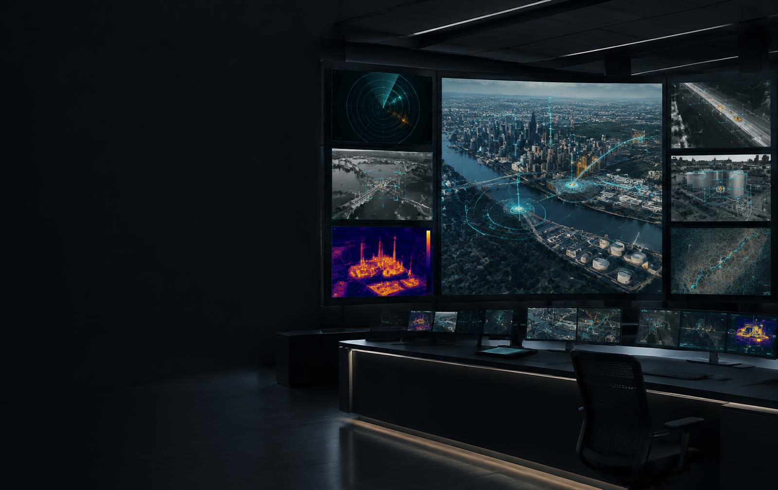
AIREZ SMART CITY360™ connects city systems and supported sensing technologies into one city-scale intelligence layer for operational context.
Overview
City-Scale Physical Intelligence Layer
Purpose
Built for the mission at hand.
Capabilities
Purpose-built intelligence for demanding environments.
A single operational view across districts, devices, sensors, events, and response systems for faster, safer response.
City-Scale System Integration
Connects cameras, traffic systems, environmental monitoring, utilities, access control, emergency communications, drones, and robotics into one city-scale intelligence layer.
Multi-Signal Fusion
Fuses multiple supported signals to create context across people, places, infrastructure, and the environment.
Unified Operational View
Provides a single operational view across districts, devices, sensors, events, and response systems, correlating location, time, and field awareness for human review.
How it works
From signal to operational understanding.
Who it serves
Intelligence aligned to the teams responsible for outcomes.
Public Safety & Emergency Teams
Correlate location, time, nearby infrastructure, and field awareness for faster, more coordinated response.
Transportation, Utilities & City Operations Teams
Combine movement, environmental, and infrastructure signals to connect what cities already have and expand over time.
Start with your operational challenge
See how AIREZ SMART CITY360™ can strengthen your physical intelligence strategy.
Every deployment begins with the environment, constraints and outcomes your team needs to understand.