
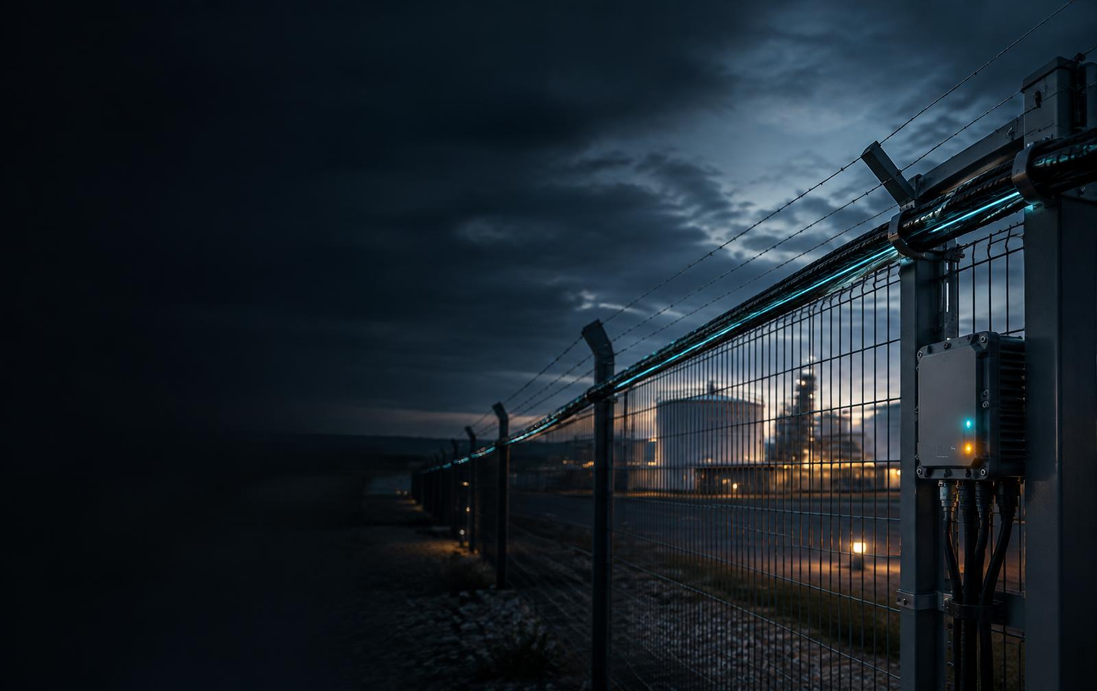
Airspace Awareness for a Safer Tomorrow
Higher Awareness. Greater Security.See further. Protect more.
HAWK extends perimeter awareness into low-altitude airspace by correlating radar, thermal, optical, zone, policy, and signaling context.
Overview
Airspace Physical Intelligence
Purpose
Built for the mission at hand.
Capabilities
Purpose-built intelligence for demanding environments.
Helps operators decide what deserves attention with a staged detect, acquire, verify, understand, and respond workflow.
Radar Awareness
Provides radar awareness for range, direction, and velocity of low-altitude objects.
Bispectral PTZ Acquisition
Directs PTZ cameras toward an event for visible and thermal imaging, with edge analytics for detection and tracking support.
Correlated Operational Picture
Correlates movement, direction, velocity, imagery, thermal evidence, zones, and policy through a Detect → Acquire → Verify → Understand → Respond workflow.
How it works
From signal to operational understanding.
Who it serves
Intelligence aligned to the teams responsible for outcomes.
Critical Infrastructure Security Teams
Extend facility perimeter awareness into low-altitude airspace above restricted zones.
Airspace & Drone Detection Operators
Correlate airspace events with facility context to decide what deserves attention and what action should follow.
Related resources
Take the detail with you.
Briefs, guides and analyses covering this solution and the environments it operates in.
- AIREZ BORDER360 — Border-Environment Physical IntelligenceThe full BORDER360 product information sheet: how PULSE, HAWK, SCOUT, GUARD, ATLAS, SENTRY and BEACON combine with existing infrastructure into one border environment — subsurface, surface, airspace and environmental layers reviewed together through the AIREZ Physical Intelligence Layer, with agents and operators making every decision.Product Brief · v1.0 · PDF
- AIREZ SMART CITY 360 — The City as an Intelligent EnvironmentCity-scale Physical Intelligence: cameras, traffic systems, environmental monitoring, utilities, access control, emergency communications, drones and robotics connected into a single operational view across districts and devices. Includes the city briefing sequence, deployment model and outcomes for public safety, mobility, infrastructure and environment.Product Brief · v1.0 · PDF
Start with your operational challenge
See how AIREZ HAWK™ can strengthen your physical intelligence strategy.
Every deployment begins with the environment, constraints and outcomes your team needs to understand.